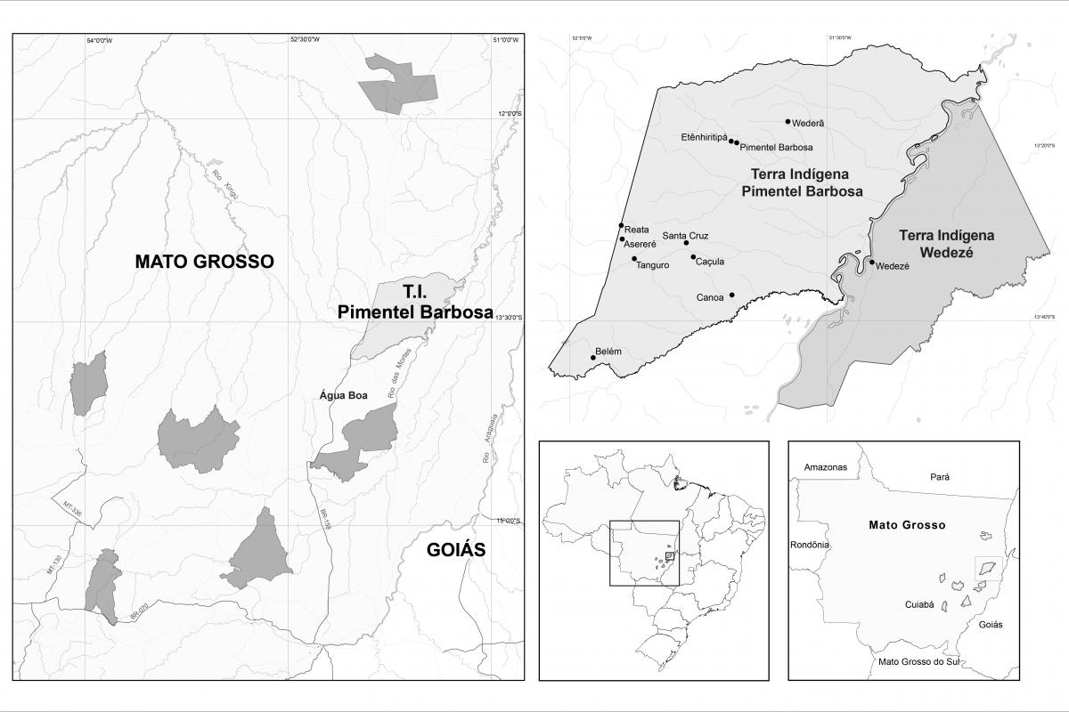
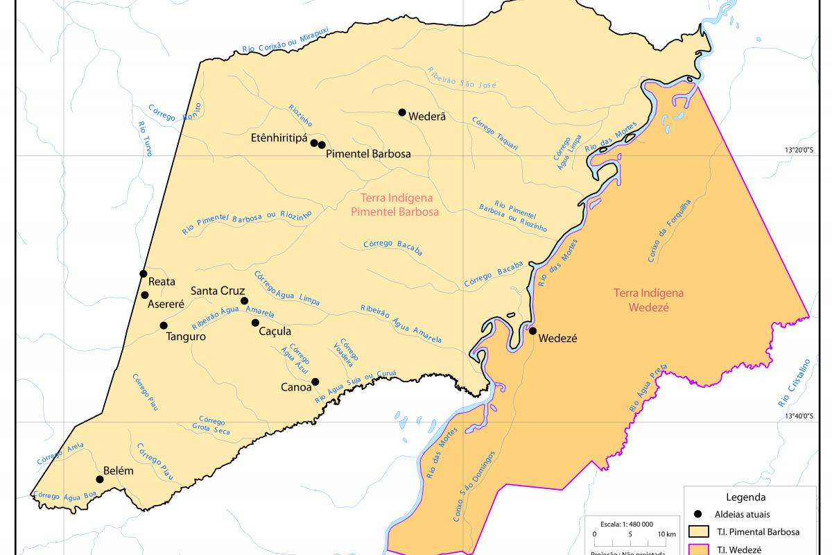
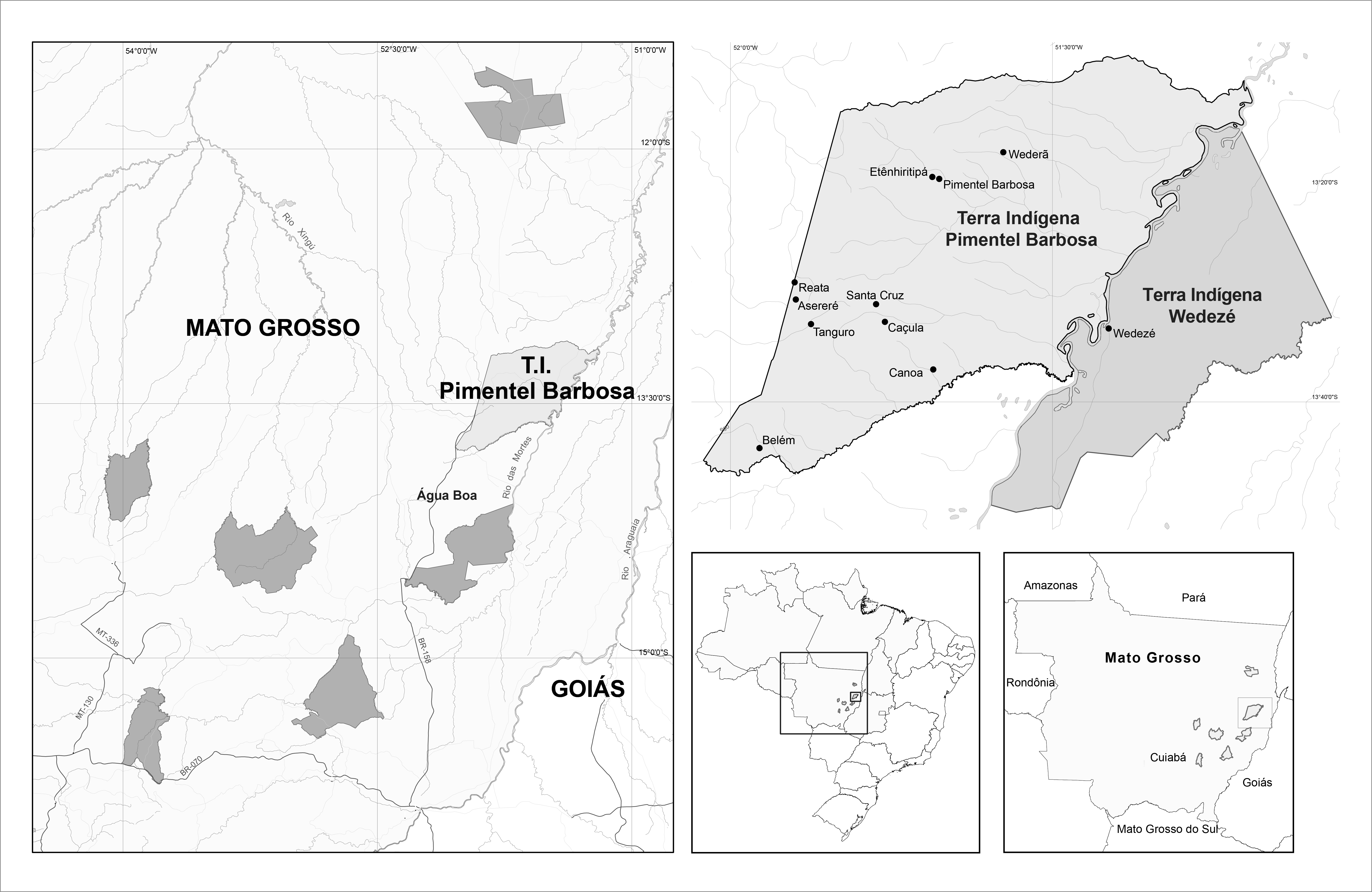
Maps of A’uwẽ lands (left) and T.I. Pimentel Barbosa and Wedezé (right, top). Adapted from Welch et al. (2013).
Description:
The map on the left shows the demarcated and delimited A’uwẽ Terras Indígenas as of 2009. On the right, the larger map shows T.I. Pimentel Barbosa and delimited T.I. Wedezé. The maps on the lower right show the position of Mato Grosso state within Brazil, and the location of A’uwẽ T.I.s within Mato Grosso. The maps are adapted from James R.Welch, Ricardo Ventura Santos, Nancy M. Flowers, and Carlos E. A. Coimbra Jr., (2013) Na primeira margem do rio: Território e ecologia do povo Xavante de Wedezé (Rio de Janeiro: Museu do Índio/FUNAI).